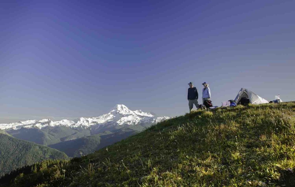
Windy Pass
The hike to Windy Pass is one of the most user-friendly hikes in the North Cascades. Suitable as a day hike or (better still) backpack, this stretch of the PCT literally glides along an open ridge with splendid views, starting right at the trailhead. In fact, the Windy Pass Trailhead is the highest automobile-accessible trailhead in Washington. Round-trip to the Pass is seven miles with an elevation gain of only 1300 feet. It’s all smooth sailing on gentle grades, allowing hikers to savor the beauty of Mt. Ballard, Azurite Peak, and a host of other peaks, rising above the sweeping meadows. And yes, there are larches.
Trailhead: From Mazama, drive the Lost Creek Rd (becomes the Harts Pass Road/FR-5400) 20 miles to Harts Pass. Turn right onto Slate Peak Rd. and continue 1.5 miles to the Windy Pass Trailhead. Northwest Forest Pass Required.
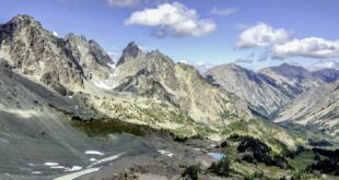
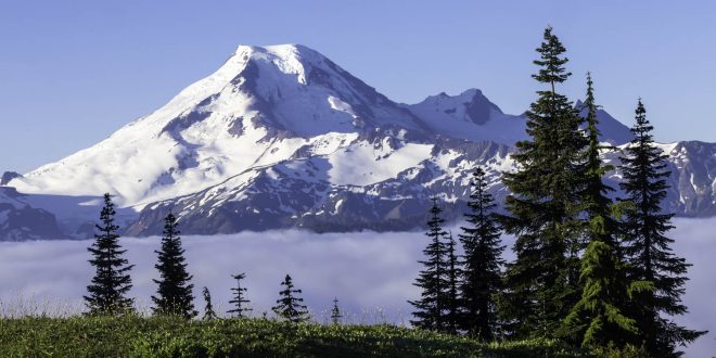
Excelsior Ridge
The view of Mt. Baker from Excelsior Ridge is a North Cascades classic: simply jaw-dropping. It appears suddenly, as you crest the ridge, and if there were an audio track, it would be The Hallelujah Chorus. The Ridge offers miles of inspired wandering along the High Divide Trail, as scenic a ridge walk as you’ll find in these parts. There are multiple access trails, but the Damfino Lakes Trail is the shortest and easiest way, allowing you to save your energy for exploring along the ridge. It’s six miles round-trip with 1500 feet of gain to reach the easily accessible summit of Excelsior Peak, and there are great campsites along the ridge.
Trailhead: From WA-524, east of Glacier, turn left on Canyon Creek Rd (FR-31) for 15 miles to the trailhead. Northwest Forest Pass Required.
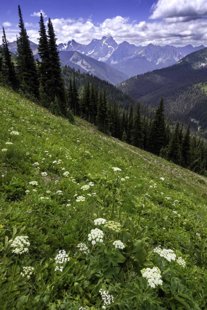
Mause Creek Tarns
Here at the western edge of the Rocky Mountains in British Columbia, a long bump-and-grind drive up a dirt road to the trailhead is de rigueur, and the Mause Creek Tarns are no exception. The trail begins as an abandoned road that slide alder and spruce are quickly reclaiming, ascends through the woods to an abandoned mine, and then becomes a proper trail that climbs steeply to the tarns at 6950 feet, a dream landscape. Soft meadows and delicate larches cradle the picturesque pools, and the placid waters reflect the sheer rock walls and scree slopes that rise above them. The round-trip distance is only four miles with 1300 feet of elevation gain. The surroundings are amazingly pristine, untrammeled alpine gardens of tender beauty. Honor this special place by walking lightly and staying on the trails.
Trailhead: From Highway 95 near Fort Steele, BC, take Wardner Fort Steele Rd. for 1.4 miles and turn left on Mause Creek Rd. Follow this rough, rocky road past the 11 KM marker (6.8 miles). High clearance vehicle required. No permit required.