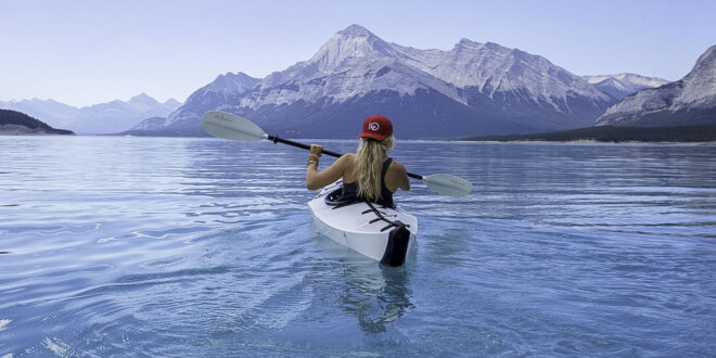
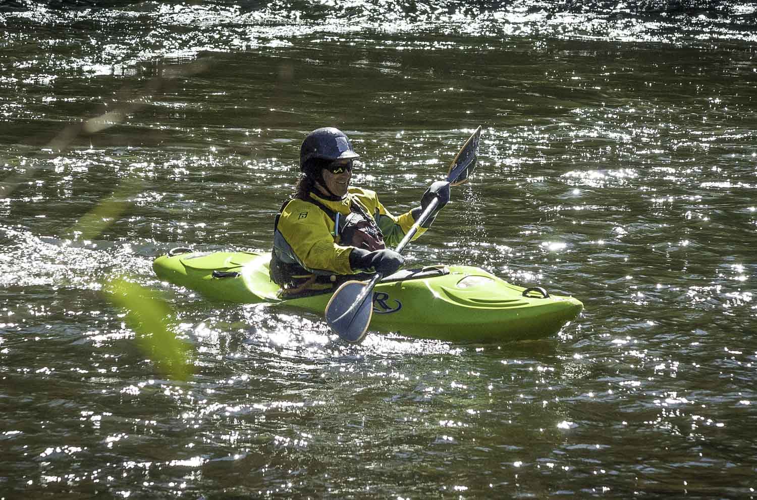
Explorers who combine rivers and trails create journeys that move beyond a single discipline. Kayak-hiking routes invite immersion in landscapes where water and land shape each other, from mountain tarns to coastal deltas. The design of such routes requires a balance of mapping skill, environmental awareness, and technical understanding. Selecting compatible terrains and managing transitions between them demands careful preparation, supported by reliable resources such as The Equipment Guide, which offers insight into gear durability, weight efficiency, and transport options.
Reading the Landscape to Build a Balanced Route
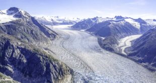
Topography and hydrology determine how land and water can interact. When planning, explorers examine gradient maps and river flow charts side by side. A stretch with a five percent slope may look manageable for hikers but could generate a fast current that challenges paddlers. Conversely, flat meanders may require longer walking approaches to reach launch points. Integrating both surfaces into a coherent route depends on recognizing where a trailhead meets a navigable reach.
In regions such as British Columbia, Alaska, or Scandinavia, official geodata portals offer open-access maps with layered details on water levels and terrain classifications. These tools help identify viable crossing points, natural camps, and emergency exits. A route that alternates hiking sections of ten to fifteen kilometers with calm paddling distances of five to eight kilometers each day maintains endurance without overloading participants.
Evaluating Terrain Transitions and Carry Sections
 Recognizing Natural Portage Corridors
The most successful kayak-hiking routes use valleys, low passes, or glacial moraines as portage links. These corridors reduce elevation change and often provide existing footpaths used historically by Indigenous or local communities. Assessing their condition before travel is essential, since erosion or seasonal flooding can alter access. Carrying a fifteen-kilogram inflatable kayak plus camping gear requires stable footing and predictable gradients. Field reports and recent trip logs from local clubs provide updated observations that are often more reliable than printed guidebooks.
Planning Water Entry and Exit Points
Launch and landing zones need protection from prevailing winds and sufficient depth for safe entry. Gravel or sandy shores allow easier handling than steep mud banks. When designing a hybrid route, explorers estimate loading and unloading time as part of daily planning. A ten-minute delay at each transition can accumulate into a full hour over several days. Efficient design therefore includes both physical and temporal flow between water and trail.
Managing Gear and Weight Distribution
 Pack Systems for Multi-Element Travel
Efficient storage prevents fatigue and damage. Dry bags in multiple sizes organize essentials such as food, shelter, and repair kits. Transparent labeling reduces repacking time during transitions. Inflatable kayaks around twelve kilograms remain the most practical for routes that involve frequent portages. Some folding models with aluminum frames offer better tracking but weigh closer to eighteen kilograms, which suits only strong carriers or two-person teams.
Balanced loads improve safety. Heavier items such as cooking sets or water filters stay near the center of gravity, while lightweight clothing and paddles fit along the outer sections of the pack. Keeping total mass below twenty-five percent of body weight maintains stability on uneven trails and during boat loading.
Dual-Purpose and Sustainable Equipment Choices
Hybrid expeditions favor multifunctional items. Trekking poles that double as kayak stabilizers or tarpaulin supports save several hundred grams. Quick-dry fabrics reduce water retention and lessen the need for duplicate clothing sets. Sustainable manufacturing adds another layer of decision quality. Many regional brands now disclose recycled content ratios and repair-service availability, allowing buyers to prioritize long-lasting products over disposable gear. Transparent labeling of production sources supports ethical purchasing and minimizes waste across supply chains.
Timing Rivers, Tides, and Daylight
 Understanding Flow and Tidal Influence
Flow rate is the pulse of any hybrid route. In temperate zones, snowmelt can double average discharge during late spring, raising both opportunity and risk. Portable flow meters or online hydrology dashboards help predict when a river section becomes navigable. On coastal routes, tidal timing governs access to estuaries and beaches. A four-hour error in tidal planning may convert an easy exit into a kilometer of deep mud. Including tidal tables in printed form safeguards navigation when batteries fail.
Using Daylight Windows Efficiently
Day length defines achievable distance. During summer at fifty degrees latitude, explorers enjoy up to sixteen hours of usable light, which supports longer transitions between trail and river. In early autumn, daylight may shrink to ten hours, so rest, meal, and travel blocks require tighter scheduling. Maintaining an average pace of four kilometers per hour on foot and five on calm water provides a practical baseline for mixed terrain travel.
Regional and Ecological Awareness
 Respecting Local Ecosystems
Kayak-hiking routes often pass through sensitive habitats such as wetland nesting areas or alpine tundra. Staying within designated corridors prevents vegetation loss and protects wildlife. Cleaning boats and footwear before moving between watersheds stops the spread of invasive species. Local authorities in Norway, Canada, and New Zealand now provide portable wash stations to support this practice.
Engaging With Local Knowledge and Transparency
Transparency strengthens outdoor ethics. Consulting regional rangers or Indigenous guides not only improves safety but also fosters cultural respect. Many route planners publish their data openly under creative commons licenses, enabling others to refine and adapt itineraries. Sharing accurate information about campsite capacities, ferry times, or gear repair services keeps future travelers better prepared and reduces environmental pressure from uninformed crowds.
Why Blended Routes Deepen the Adventure
Every successful kayak-hiking route tells a layered story. The rhythm alternates between the quiet push of a paddle and the steady rhythm of boots on soil. This combination exposes travelers to shifting perspectives, from mirror-still lakes to panoramic ridge lines. The act of linking river and trail nurtures patience, observation, and humility before terrain that cannot be conquered but only crossed.
Designing such routes requires more than fitness. It demands curiosity about hydrology, attention to equipment integrity, and respect for regional ecosystems. The reward is an experience that integrates endurance, adaptability, and stewardship. For explorers seeking depth rather than distance, blending rivers and trails becomes a way to understand landscapes in their full dimension.